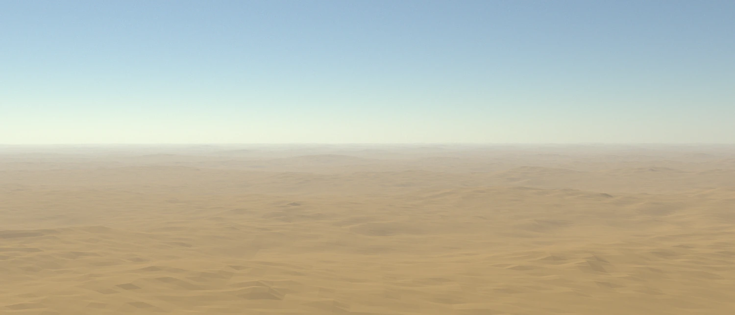
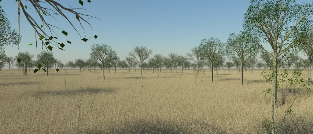
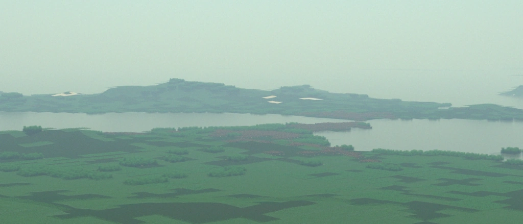
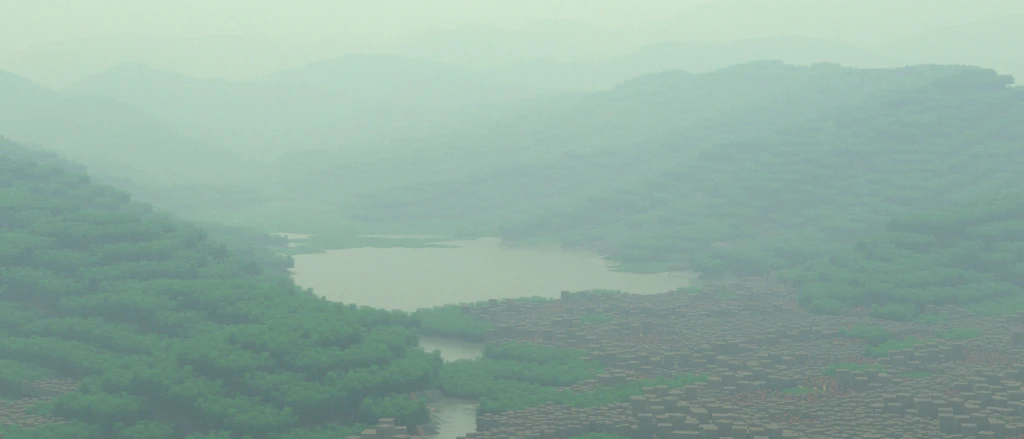
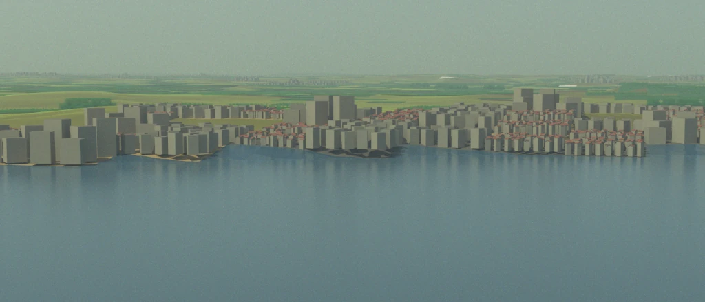
Eradiate is a 3D radiative transfer model designed to support calibration/validation activities in the field of remote sensing. For that purpose, it aims at achieving an accuracy better than 1% on the simulation of satellite images. This requires aggregating modelling advances done by multiple scientific communities, and Eradiate is therefore designed to facilitate the integration of new models and algorithms. High accuracy also requires embracing the full complexity of the world: Eradiate therefore uses the Monte Carlo ray tracing method and utilizes the Mitsuba 3 rendering system as its radiometric kernel.
Eradiate is also free software. We want to provide the scientific community with comprehensive, high-quality software, designed as a common platform to share modelling advances. Learn more about this project.
Detailed Feature List #
- Spectral computation
Solar reflective spectral region
Eradiate ships spectral data in the solar reflective region (at least from 280 nm to 2500 nm).Line-by-line simulation
These are true monochromatic simulations (as opposed to narrow band simulations). Eradiate provides monochromatic absorption databases covering the [250, 3125] nm interval. User-defined absorption databases are also supported (see the database format).Band simulation
These simulations computes results in spectral bands. The correlated k-distribution (CKD) method with configurable quadrature rule is used. This method achieves a trade-off between performance and accuracy for the simulation of absorption by gases. Eradiate provides CKD-ready absorption databases for the [250, 3125] nm interval, with various spectral bin sizes (100 cm⁻¹, 1 nm, 10 nm). User-defined absorption databases are also supported (see the database format).Polarization
Eradiate optionally supports polarized light simulation. This feature can be switched on or off to achieve the best compromise between accuracy and performance. - Atmosphere
One-dimensional atmospheric profiles
Both standard profiles, e.g. the AFGL (1986) profiles, and customized profiles are supported.Plane-parallel and spherical-shell geometries
This allows for more accurate results at high illumination and viewing angles. - Surface
Lambertian, RPV, Ross Thick-Li Sparse and Hapke reflection models
All models can be parametrized against the spectral dimension.Detailed surface geometry
Add a discrete canopy model (either disk-based abstract models, or more realistic mesh-based models).Combine with atmospheric profiles
Your discrete canopy can be integrated within a scene featuring a 1D atmosphere model in a fully coupled simulation. - Illumination
Directional or finite-size illumination model
Eradiate supports both ideal (Delta angular distribution), and realistic (finite angular size) illumination models. - Measure
Top-of-atmosphere radiance and BRF computation
An ideal model suitable for satellite data simulation.Perspective camera sensor
Greatly facilitates scene setup: inspecting the scene is very easy.Many instrument spectral response functions
Our SRF data is very close to the original data, and we provide advice to further clean up the data and find the right balance between accuracy and performance. - Monte Carlo ray tracing
Mitsuba renderer as radiometric kernel
We leverage the advanced Python API of a cutting-edge C++ rendering system.State-of-the-art volumetric path tracing algorithm
Mitsuba ships a null-collision-based volumetric path tracer which performs well in many of the cases Eradiate is used for. We also provide a special-purpose path tracing algorithm for plane-parallel geometries that can perform up to 2 orders of magnitude faster than the null-collision algorithm. - Traceability
Documented data and formats
We explain where our data comes from and how users can build their own data in a format compatible with Eradiate's input.Transparent algorithms
Our algorithms are researched and documented, and their implementation is open-source.Thorough testing
Eradiate is shipped with a large unit testing suite and benchmarked periodically against community-established reference simulation software. - Interface
Comprehensive Python interface
Abstractions are derived from computer graphics and Earth observation and are designed to feel natural to EO scientists.Designed for interactive usage
Jupyter notebooks are now an essential tool in the digital scientific workflow.Integration with Python scientific ecosystem
The implementation is done using the Scientific Python stack.Standard data formats (mostly NetCDF)
Eradiate uses predominantly Xarray data structures for I/O.
